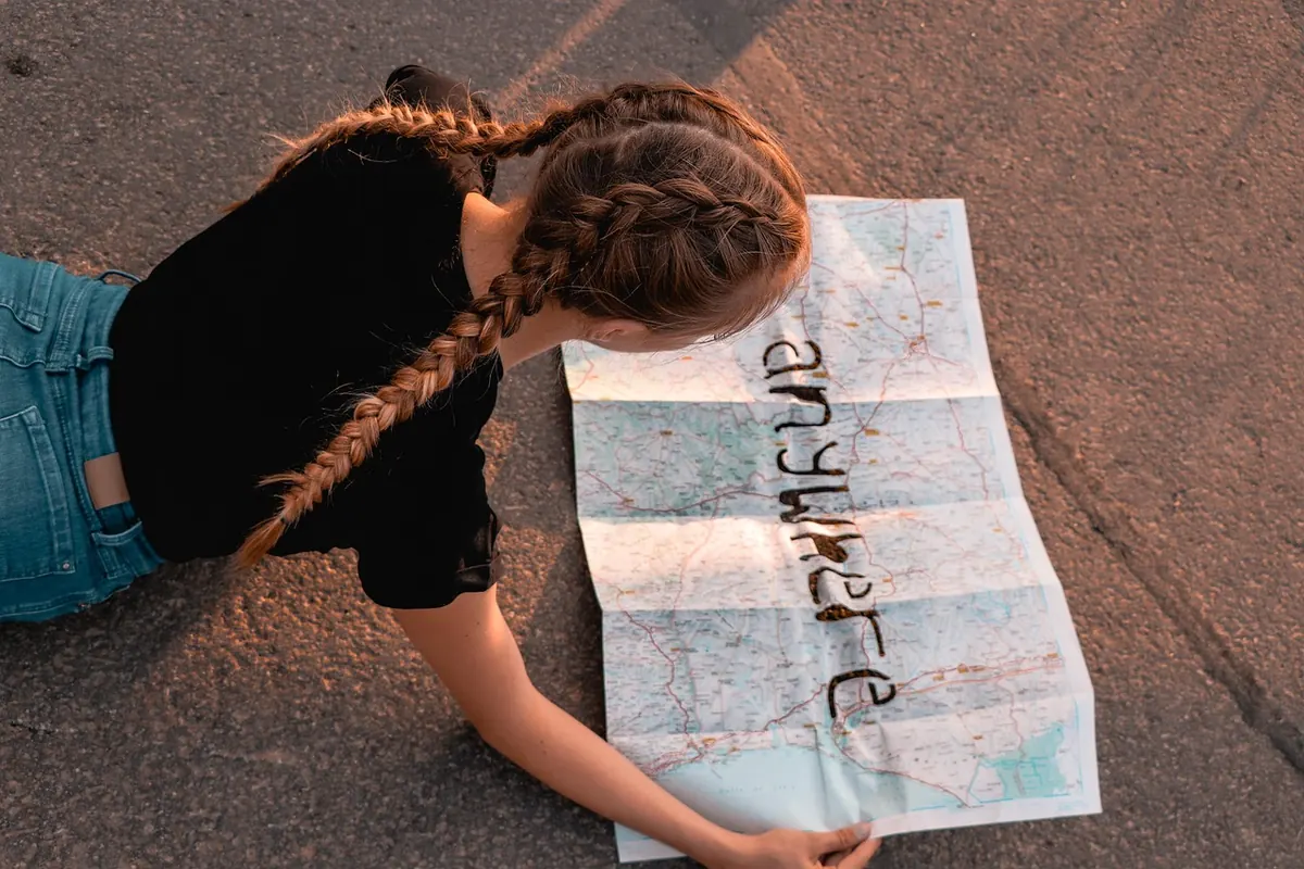
A folded OS sheet in a clear map case has a way of surviving a day on the fells that no phone battery quite manages. Yet a GPS fix in thick clag, somewhere on a featureless ridge with three identical spurs, has saved plenty of walkers from a long, wet detour. The honest answer to paper versus digital is not a winner. It is knowing which one to trust, and when.
Where Each Format Earns Its Place
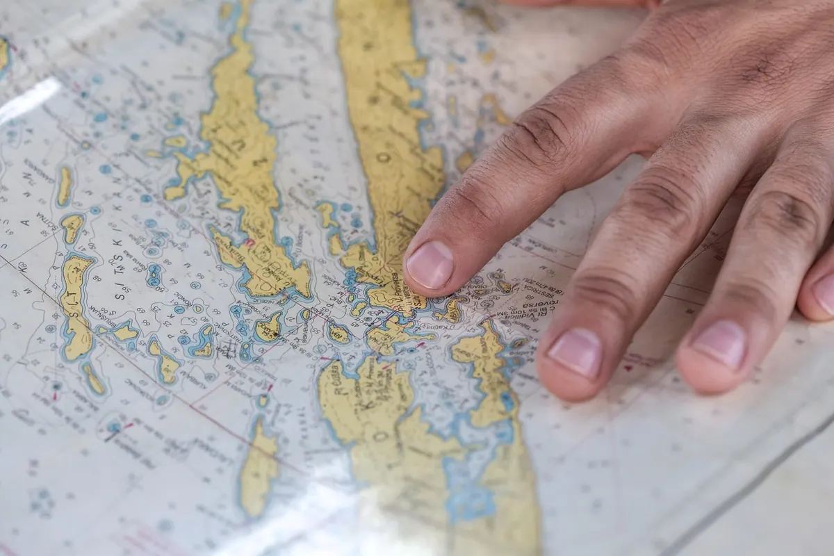
A paper map shows you the whole shape of the day at once: the ridge line, the side valleys, the escape routes, the forestry tracks that could shorten a wet afternoon. You can spread it out on a summit cairn, scribble on it in pencil, and hand half of it to a mate. It never asks for a charge.
A digital map shows you something different: exactly where you are, right now. That is enormously useful when the path has vanished and every hummock looks the same. It also makes grid references easy to read, share and search, and it carries several days of mapping in a pocket-sized device.
The two fail in completely different ways, and that is the whole point. A phone dies quietly. A paper map does not, but it can be reduced to pulp in an hour of driving rain if you have not looked after it. Plan for the failure mode you can least afford.
Reliability in Wet, Windy Weather
British hill weather is not really about dramatic storms; it is about persistent, wind-driven drizzle that soaks everything at the edges. Exposed paper goes soft first at the corners, where you hold it, then along the folds. Ink from a home printer can smear. A non-laminated sheet left out in the wind will tear along a fold line within minutes.
Digital devices cope better with rain in one sense and worse in another. A waterproof phone survives a soaking, but water on the screen causes phantom taps, and mapping apps can leap about the place as you fumble with wet gloves. Charging ports and speakers fill with water; modern handsets often complain and refuse to charge until they dry out.
Handheld GPS units with physical buttons have a real advantage in these conditions. So does the humble map case, hung from a lanyard or tucked into a chest pocket, with the map folded so only the next leg is showing.
Battery Life and the Cold
Cold weather reduces the performance of lithium batteries, so the phone that lasted two days in a warm house may drop a third of its charge on a winter Cairngorms plateau while sitting in an outer pocket. Most of the fixes are simple:
- Keep the phone in an inside pocket, close to your body, and take it out only when you need it.
- Switch to airplane mode. On a remote hill you are usually hunting for a signal that is not there, and that search is what drains the battery.
- Download offline maps for the entire area before leaving, then turn mobile data off.
- Reduce screen brightness and shorten the screen timeout. Use a dark theme.
- Carry a power bank and short cable, also kept warm, inside your jacket rather than in the pack.
A paper map has no battery at all, but it does have weight, and a full set of 1:25,000 sheets for a long route adds up. Printed extracts on waterproof paper are a decent compromise: lighter, and you can mark them up freely.
What GPS Does to Navigation Skill
Following a blue dot is easy; it is also a narrow skill. A small screen gives you a corridor view of the terrain. Zoom in for detail and you lose the context. Zoom out for context and the contour detail disappears. Paper gives you both at the same scale, which is why route planning on a kitchen table still beats scrolling.
If you want the digital map to be a backup rather than a crutch, practise the traditional sequence: orient the map, identify two features, take a bearing, then estimate distance and time. As a rough rule of thumb, allow about four kilometres per hour on the flat and add roughly a minute for every ten metres of ascent, then adjust for terrain, pack weight and the group. Only after you have made your own call should you check the screen. That habit is what keeps skills sharp for the day the battery is flat.
Handling, Gloves and Screens
Paper demands a bit of housekeeping. Fold it so the next leg faces out, keep it in the case when you are not reading it, and never let go of it in wind. Write your route plan and timings in pencil on the sheet so you are not re-reading the guidebook on a col in a hoolie.
Screens demand a different kind of housekeeping. Touchscreens rarely work through thick winter gloves; either use a stylus with a cord, choose gloves with conductive fingertips, or accept that you will be taking a glove off and putting it back on. In low winter sun, phone screens wash out badly. A paper map in the same light is still perfectly legible.
A Practical Kit Set-Up
- Carry the 1:25,000 sheet for your area in a clear map case, with a 1:50,000 sheet or printed extract for the wider surroundings.
- Add a baseplate compass and note the grid magnetic angle printed in the map margin for the year you are walking.
- Carry the phone fully charged, offline maps downloaded, in an inside pocket with a power bank.
- Agree in the group who carries what, so you are not all relying on one device.
- Pack a head torch, even on a short summer outing.
A Sensible Default for British Hills
Treat paper as your primary tool and the phone as confirmation. This is not nostalgia; it is a cold, wet, practical judgement about which system keeps working when conditions are at their worst and when you are tired enough to make poor decisions.
Digital first is reasonable for lowland paths, good visibility, well-known ground and short days. Paper first makes more sense in cloud, driving rain, winter conditions, multi-day routes and remote ground where a dead battery is more than an inconvenience.
Whatever you choose, test it before you leave the car park. Take a bearing, find your grid reference, check the phone has a fix and the map is the right sheet. Tell someone your route and expected return time. If something does go wrong, dial 999 and ask for the police, who coordinate mountain rescue in the UK. For anything involving injury or medical concern, seek proper medical advice rather than relying on a hillwalking article.
Most experienced walkers end up carrying both, using the map to decide and the device to confirm. The aim is not to pick a side. It is to arrive back at the car with dry feet, a charged phone and a route you understood from start to finish.
Photo: 11417994 / Pixabay