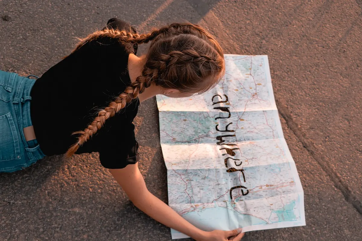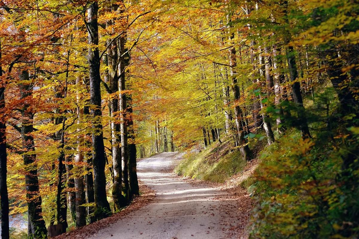
Autumn does something to a local map. The canopy thins, the bracken collapses, and features you have walked past since spring appear as if drawn in pencil: a ditch and bank running behind a hedge, a lost track looping across a field, the stub of a wall under the beeches. Meanwhile the paths themselves are changing underfoot, and the printed map in your hand is quietly going out of date.
A seasonal fieldwork project is the remedy. Choose a patch you know well, pick a handful of features worth recording, and give it an hour a week from late September to December. What you end up with is a small, accurate, hand-annotated record of how your area behaves as the year turns.
Why autumn suits fieldwork
In June a footpath is a green tunnel. By October it is a corridor with edges. Two things drive that: visibility and change. Visibility improves because bracken turns rust and dies down, nettles collapse, leaves drop, and the low sun rakes across the ground so lumps and hollows show up in relief. Change comes faster too: surfaces soften, ditches fill, fords run, gates get shut for winter grazing.
The trade-off is daylight. By late October, reliable light is gone by about half four across most of the UK, earlier in the north or under heavy cloud. Plan short routes, and carry a head torch even on ground you know. If photographs matter, take them in the morning; a four o'clock snapshot in drizzle is a grey smear.
Choose your area, then choose what to record
Pick a boundary you can finish. One grid square, a single parish, or a loop you already walk each week. Then decide in advance which features you are recording, and record only those. Consistency beats completeness every time.
- Path surfaces: dry, damp, churned, flooded, overgrown, and where each change begins.
- Access furniture: gates, stiles, kissing gates, fingerposts, waymark discs. Note broken, missing, replaced or new.
- Trees: species where you are certain, canopy colour, leaf fall, mast and berries.
- Hedgerows: gaps, height, berries, whether they have been flailed or laid.
- Water: ditch levels, springs, field ponds, fords, culverts.
- Boundaries: walls, fences, banks, and any stone or post marking a corner.
- Landmarks: barns, chapels, milestones, boundary stones, pillboxes, benches, bridges, trig pillars.
Leave out anything too fluid to be useful: crop types, potholes, parked cars. A survey sheet that tries to hold everything holds nothing.
Build a colour key before your first walk
Colour is the heart of a seasonal project, so treat it as evidence rather than decoration. Limit yourself to eight colours and tie each one to a condition, not a mood. Use a fixed palette you can repeat — paint chips or a printed swatch card work well, because colours mixed by eye each week will drift.
- Mid green — canopy full
- Yellow-green — turning
- Copper or rust — beech, bracken, bracken dying back
- Grey-brown — leaf-off, bare wood
- Purple-brown — churned mud
- Ochre — bare earth, leaf litter, plough
- Slate blue — standing and running water
- Pale grey — stone, concrete, tarmac
Write the date and the light conditions in the margin next to your key. A colour seen at four in the afternoon under drizzle is not the same colour seen at ten in the morning in sun, and future-you will want to know which one you meant.
Fix your photo points
Choose three or four grid references where you will take the same picture on every visit, at roughly the same time of day. A sequence of those images across a season is far more persuasive than any single beautiful annotated sheet. Note the reference beside each point so you can find it again without guessing.
Footpaths: record condition, not just the line
Ordnance Survey shows the legal line of a right of way. Your job is to record the ground. Walk the route and note where the surface changes, where a new fence crosses, whether there is a stile, a gate or simply a gap, whether a gate is tied shut, whether a field edge has been ploughed into the path margin, and whether the waymark at a junction is still legible.
Annotate in pencil on a printed copy — ink runs in the rain. Use six-figure grid references for junctions and eight-figure references for small items such as a waymark disc or a damaged step. Six figures place you within about 100 metres; eight within roughly 10 metres.
Conduct matters. Stay on public rights of way, close gates behind you, keep dogs under control around livestock, give horses room, and ask permission before entering private land. The Countryside Code covers England and Wales, and the Scottish Outdoor Access Code covers Scotland; both are short and worth reading once. If you find an obstruction across a public right of way, your local highway authority is the usual body to report it to, and most offer a simple form online.Photo: shogun / Pixabay