Your workbench for maps and geography
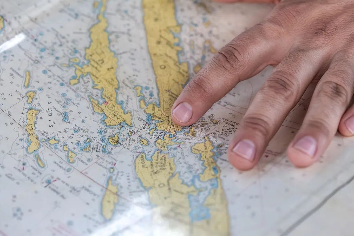
A practical walkthrough for lining up scanned historical town maps with modern coordinates in QGIS, from choosing control points to reading residuals and saving a georeferenced GeoTIFF.

QGIS is free and forgiving; ArcGIS Pro is what most UK employers use. Here is how to decide which to learn first, and in what order.

A plain-English guide to geographic information systems: how spatial layers work, what a GIS query actually asks, and how to try it yourself.