
Your workbench for maps and geography
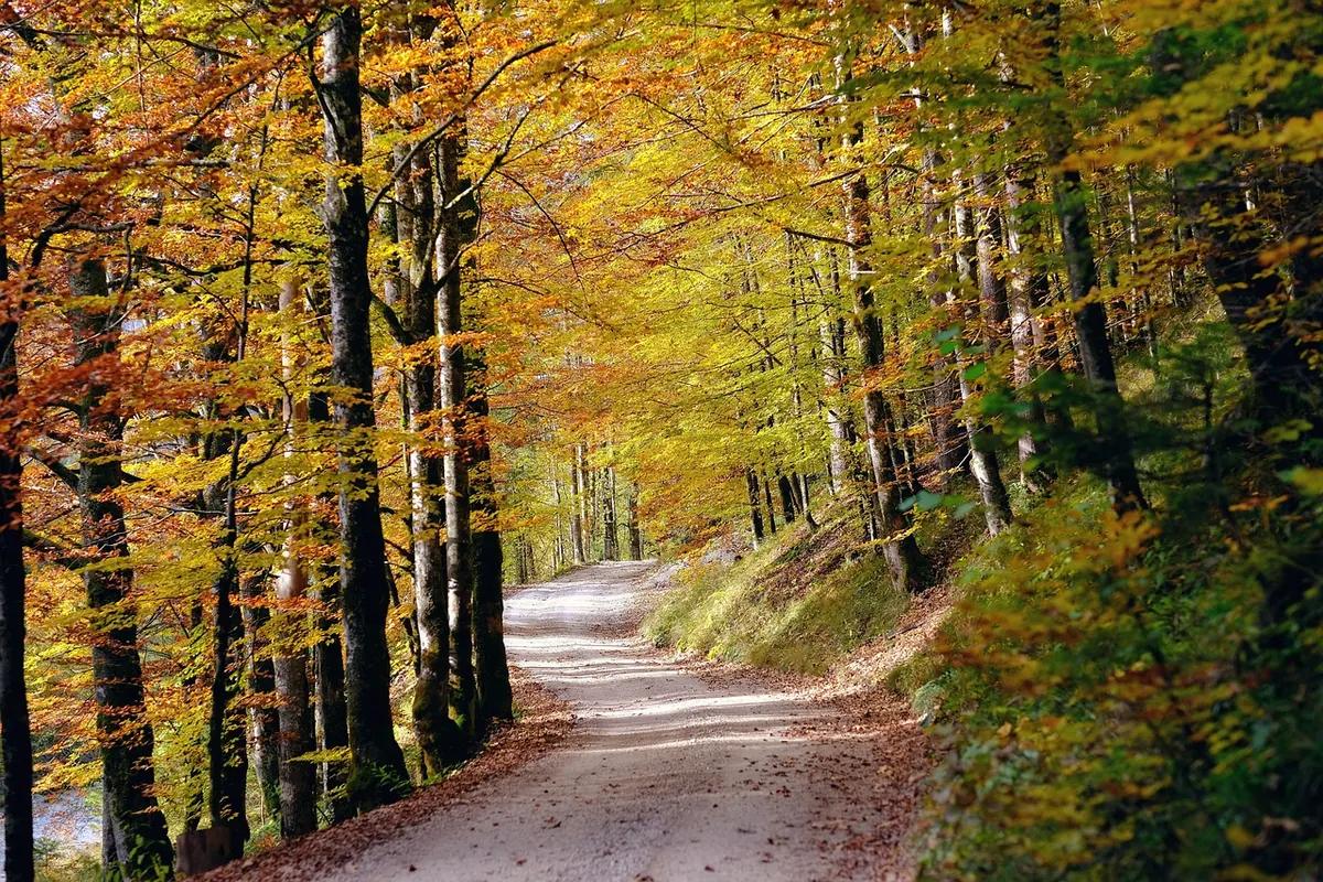
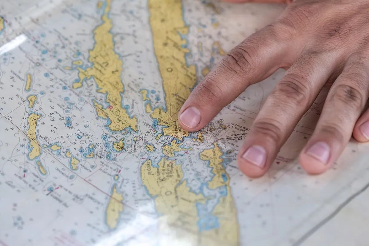
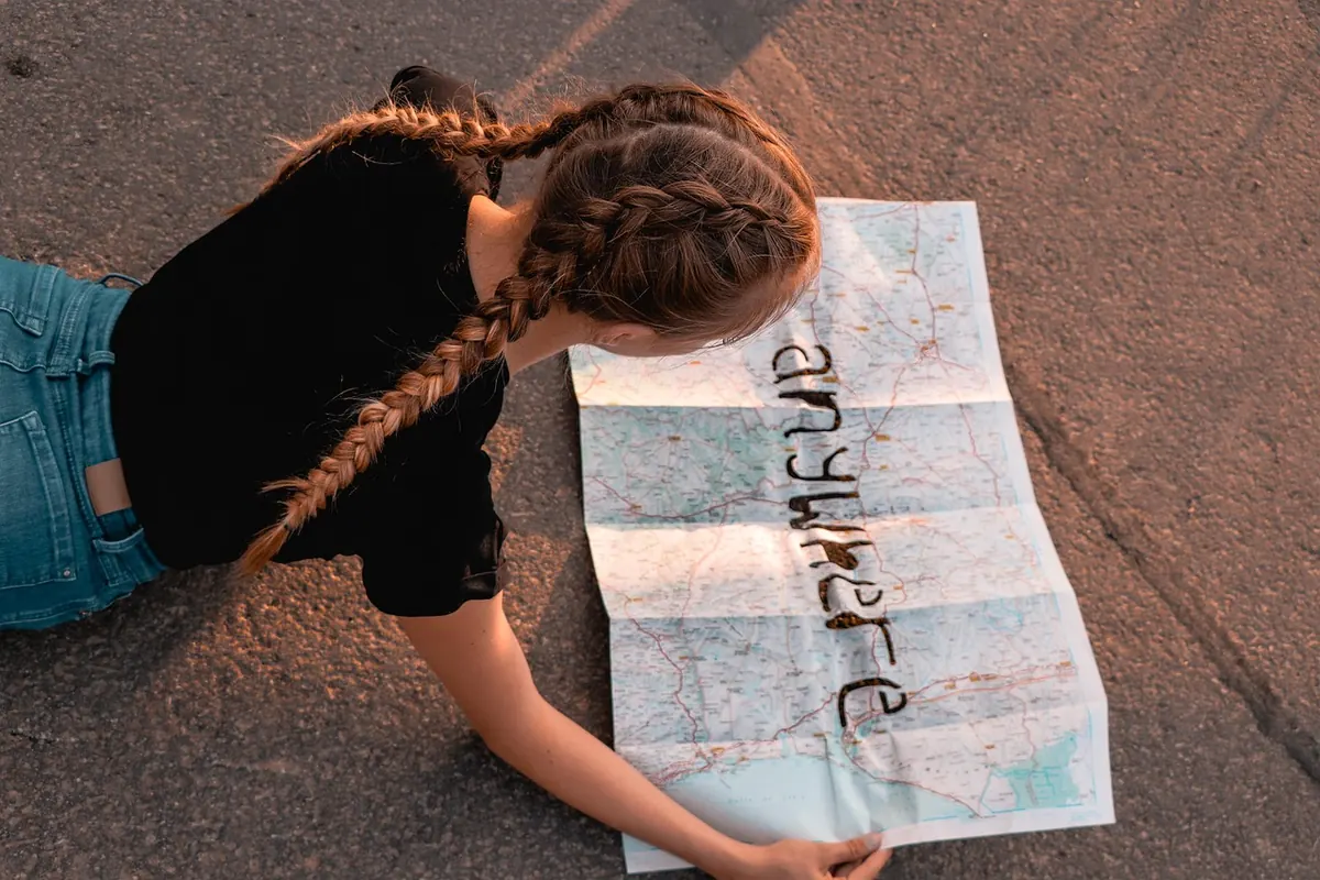

A practical autumn fieldwork project for British map-makers: record footpath conditions, tree colour and landmarks on a printed base map, with a fixed colour key and a routine that lasts the season.
A practical walkthrough for lining up scanned historical town maps with modern coordinates in QGIS, from choosing control points to reading...
A practical look at when a paper map outperforms a phone on British hills, when GPS earns its keep, and how to carry both well.
A practical pre-fieldwork checklist for GPS mapping in rural Britain, covering access permissions, kit, receiver setup, weather, data capture and lone-worker safety.
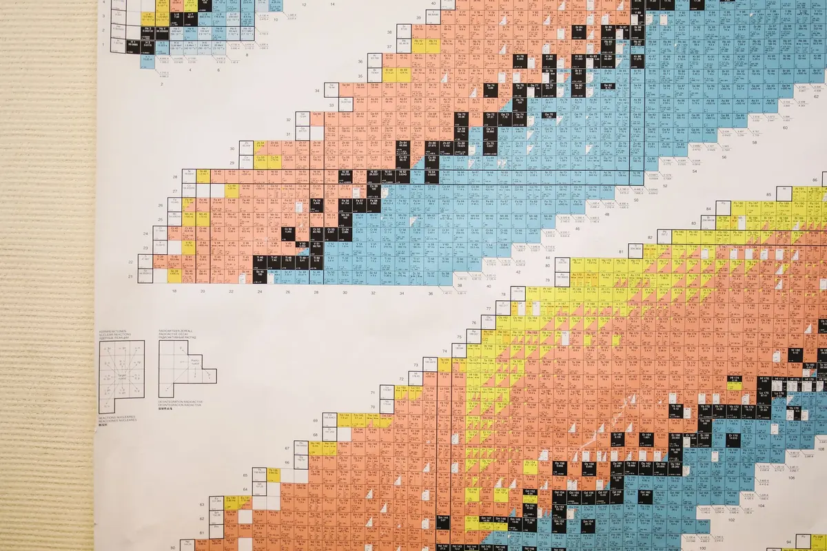
Learn how to read map symbols, understand colour conventions, and design legends that make a map clear at a glance.

Five common map projection mistakes, from defaulting to Web Mercator to mixing datums, with practical fixes for clearer UK maps.

QGIS is free and forgiving; ArcGIS Pro is what most UK employers use. Here is how to decide which to learn first, and in what order.

A practical ten-point pre-flight routine for mapmakers, covering data provenance, projection, labels, colour accessibility and attribution before...

A plain-English guide to geographic information systems: how spatial layers work, what a GIS query actually asks, and how to try it yourself.
A practical beginner's guide to reading Ordnance Survey topographic maps, covering scale, contour lines, symbols and grid references for safer walking in Britain.